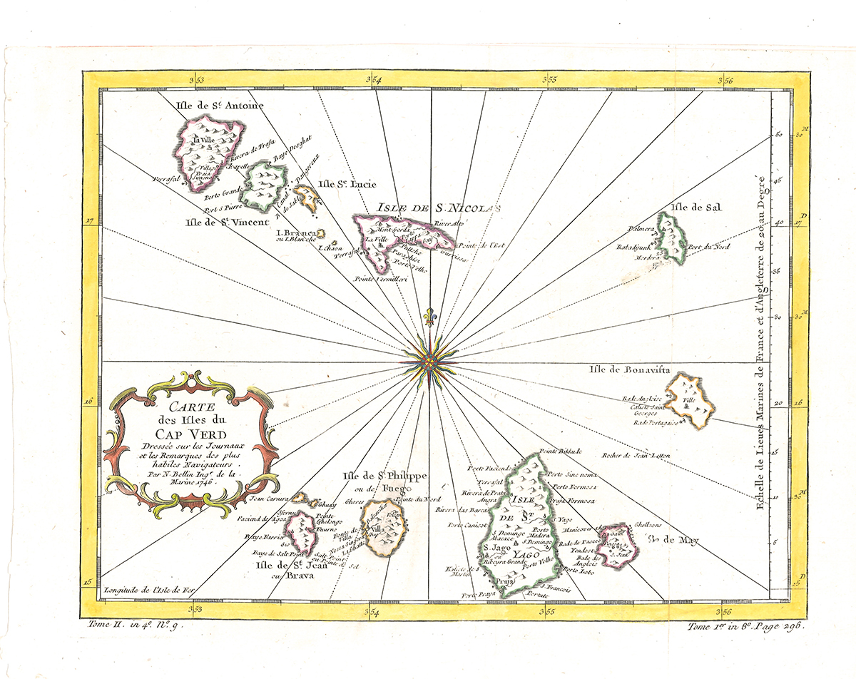
1453-19 CAPE VERDE ISLANDS - BELLIN, (Jacques-) N(icholas). Carte des Isles du Cap Verd. Dressée sur les Journaux et les Remarques des plus habiles Navigateurs. Par N. Bellin Ingr. de la Marine 1746. Jacques Nicholas Bellin (1703-1772). Bellin spent over fifty years at the French Hydrographic Service where he was appointed the first 'Ingenieur hydrographe de la Marine'. During his term of office he carried out major surveys off all the known coasts of the world. He was also a member of the Royal societry in London. This fine hand coloured antique map of the Cap Verde Islands was published for Antoine-Francois Prevost's monumental 20 volume edition od L'Histoire Generale des Voyages published by Pierre de Hondt, The Hague between 1747 and 1780.
Kolor. Orig.-Kupferkarte. [Paris 1775]. 25, 4 x 33, 4 cm. (Blattgr.), 22 x 28, 5 cm (Kartengr.). In sehr gutem Zustand.

